Residents across southern Quebec have been asked to prepare for more heavy rain on Monday as saturated soils and high atmospheric moisture raise the risk of localized flooding and severe thunderstorms. Forecasters say repeated rounds of showers and storms could bring intense downpours, strong gusts and isolated rotating cells.
Why the risk is elevated
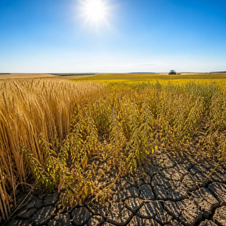
Parts of the region have already recorded between 70 and 100 mm of rainfall in recent days, leaving the ground unable to absorb much more water. Meteorologists say additional precipitation falling on soaked soils increases the likelihood of runoff, ponding and flash flooding in low‑lying and urban areas.
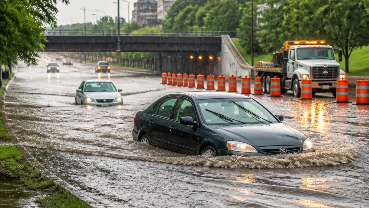
"Never try to drive across a flooded roadway. It's impossible to tell how deep the water is until it's too late,"
Officials repeat the standard safety warning that even shallow, moving water can sweep vehicles from the road. Emergency‑services spokespeople urge drivers to turn around and seek higher ground rather than attempting to cross flooded streets.
Timing and main threats
Forecast models point to multiple thunderstorm rounds across southern Quebec on Monday, with the most dangerous conditions expected in the afternoon to early evening. The leading hazards are:
- Torrential rain and rapid accumulation leading to localized or urban flash flooding
- Strong to damaging winds capable of downing branches and causing power interruptions
- An isolated risk of supercell thunderstorms or rotation in some storms
Forecasters note that the heaviest rainfall is expected north of the St. Lawrence River, but the Montreal area and its suburbs remain at risk for slow‑moving storms that can repeatedly drop heavy rain over the same neighbourhoods.
Rainfall guidance
Accumulation estimates prepared for the Monday period outline a gradient of expected totals across the region:
| Area | Expected rainfall |
|---|---|
| Island of Montreal | 10–20+ mm |
| Along the St. Lawrence and up to 75 km north/south | 30–50+ mm |
| Farther northeast | 75–100+ mm |
These are forecast ranges and localized thunderstorms could exceed the higher end of the guidance in short time spans. Urban centres with lots of pavement and limited drainage are particularly vulnerable to rapid ponding.
Practical advice for residents
Local authorities and meteorologists recommend the following precautions to reduce risk and disruption:
- Monitor weather updates from Environment Canada and local media throughout the day.
- Avoid driving through flooded roadways — seek alternative routes or delay travel.
- Secure outdoor items and be prepared for possible power interruptions from wind damage.
- Move valuables and important documents above expected flood levels in basements and low areas.
Emergency-management officials also advise people in flood‑prone neighbourhoods to consider sandbags where available and to stay ready to relocate if local warnings are issued.
Where to watch for updates
Because conditions can change rapidly during convective weather, forecasters say residents should keep tuned to official weather services and local emergency messages for warnings or watches. The Weather Network and Environment Canada will post continuous updates and any severe‑weather advisories that are issued.
With soils already saturated after recent heavy rainfall, forecasters caution that even a short period of intense rain can produce dangerous local flooding. Those living east and south of Montreal should be particularly alert in the afternoon and evening as storms develop.
For immediate safety, remember basic flood and storm rules: avoid standing water on roads, stay indoors during intense storms, and follow instructions from municipal emergency personnel.