A rapidly intensifying El Niño in the tropical Pacific is poised to reshape Canada’s weather over the coming months, with forecasters warning of a greater likelihood of warm, dry conditions across western regions and altered winter patterns nationally.
What forecasters are seeing
Officials tracking the climate signal say the current El Niño may become the strongest on record based on the latest outlook from the U.S. National Oceanic and Atmospheric Administration. CityNews chief meteorologist Natasha Ramsahai, citing that forecast, described an unusually quick transition since spring that has challenged modelling systems.
“Since the spring, we’ve had such a rapid transition that the forecast models can’t even keep up,” Ramsahai said.
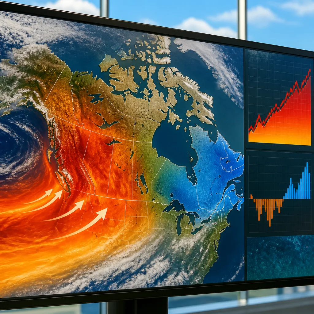
She warned the most direct impacts will be felt from the Pacific Coast through the Prairies and into northwestern Ontario, where a pronounced surface‑temperature anomaly in the tropical Pacific tends to favour above‑normal temperatures and below‑average precipitation through winter and into the following spring and summer.
Regional consequences and risks
Ramsahai highlighted several specific consequences tied to a strong El Niño signal:
- Reduced snowpacks across many affected areas, with forecasts pointing to little or no snow accumulation in some river basins and mountain ranges.
- Lower snowmelt and diminished winter insulation for soils and vegetation, factors that can complicate spring runoff and ecosystem recovery.
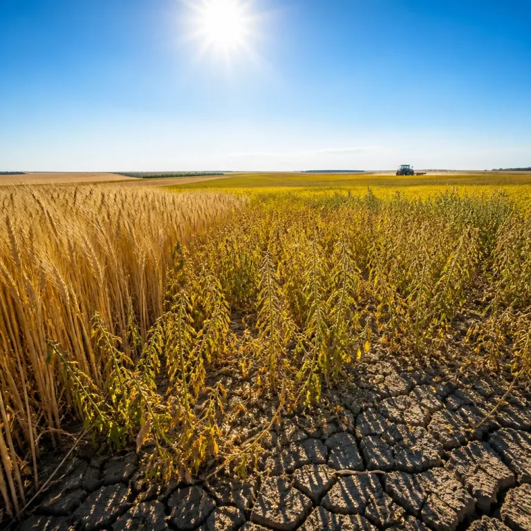
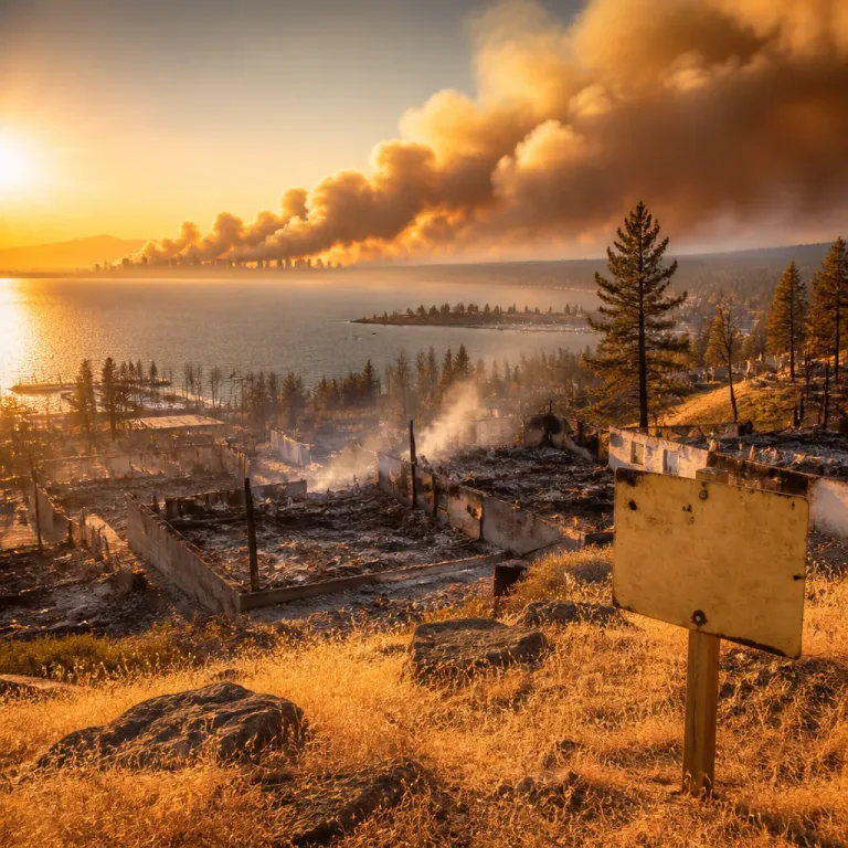
- Elevated wildfire and drought risk as soils and fuels remain drier than usual heading into spring and summer of 2027.
She stressed these effects would be most pronounced in western Canada and the Prairie provinces but cautioned there would be regional differences nationwide.
Different outcomes across the country
Not all regions should expect the same response. Ramsahai noted that Quebec and most of the Maritimes are more likely to experience cooler winter conditions under this pattern, demonstrating how El Niño redistributes temperature and precipitation anomalies rather than producing uniform impacts across the country.
The meteorologist also described the physical mechanism that drives an El Niño event: when the tropical Pacific trade winds relax, warm surface waters shift eastward and pool in the central and eastern Pacific. The magnitude of the ocean temperature departure from normal determines how strong the climate episode becomes.
| Region | Likely 2026–27 Impact |
|---|---|
| Western Canada & Prairies | Warmer and drier; reduced snowpack; higher wildfire/drought risk |
| Northwestern Ontario | Warmer and drier tendencies |
| Quebec & Maritimes | Tendency toward cooler conditions |
Implications for planning and preparedness
Forecasters and water managers typically monitor El Niño‑related projections closely because changes in snowpack and winter precipitation influence reservoir storage, spring flood potential and wildfire season severity. With models pointing to a particularly strong event, provinces, municipalities and emergency planners may have to weigh higher risks to water supplies and wildfire readiness into their seasonal preparations.
Ramsahai cautioned that while El Niño tends to exert a strong influence on seasonal weather patterns, it acts on top of ongoing climate change and natural variability — factors that can modulate local outcomes. She emphasised that the strength and rapid development of the current event have been notable.
As the season progresses, forecasters will refine outlooks and assess how the evolving Pacific conditions translate into concrete impacts across Canada.