Environment Canada issues yellow warning for St. Catharines and Niagara Falls
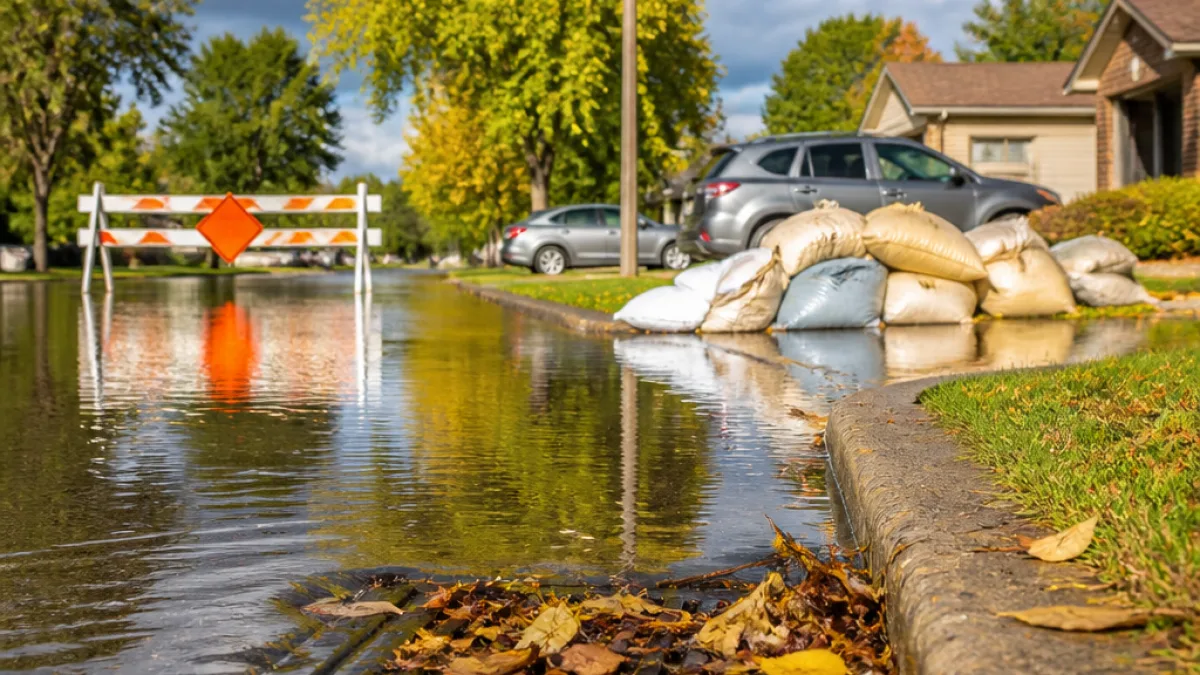
Environment Canada has issued a yellow rainfall warning for St. Catharines and Niagara Falls, forecasting locally heavy rain and the possibility of thunderstorms on Sunday. The alert comes less than a week after sections of the Niagara region experienced torrential downpours that led to heavy flooding and damage.
The agency predicted local amounts of 40 to 50 millimetres of rain in St. Catharines, with some locations in Niagara Falls warned that rainfall could exceed 50 millimetres through Sunday morning and afternoon. Showers were expected to taper off late Sunday evening, though Environment Canada noted a continued risk of thunderstorms into the evening hours.
Public safety advice and likely impacts
Environment Canada’s warning emphasised immediate risks to drivers and property as a result of intense, localized rainfall.
"Water will likely pool on roads and in low-lying areas," the agency said. "Some property damage is possible."
The agency also cautioned residents not to drive through flooded roadways and to remain alert for washouts near rivers, creeks and culverts. Those instructions are particularly relevant in St. Catharines, where recent flooding has already weakened drainage infrastructure in some neighbourhoods.
- Where: St. Catharines and Niagara Falls (yellow warning); special statements for Hamilton, Burlington and Brantford.
- When: Sunday morning into Sunday evening, with showers ending late Sunday night.
- How much: Up to 40–50 mm locally in St. Catharines; some parts of Niagara Falls could see more than 50 mm.
Regional context: recent flooding and follow-up risk
Less than a week before this new warning, parts of Niagara were hit by torrential rainfall that produced heavy flooding and visible damage. That recent event increases concern about repeated impacts to the same streets, basements and low-lying areas if another concentrated burst of rain occurs.
Environment Canada also issued special weather statements for nearby communities — Hamilton, Burlington and Brantford — noting the potential for localized heavy downpours of up to 50 millimetres in places. The special statements warn of similar hazards: standing water, potential property damage and travel disruption.
Quick reference: forecast figures
| Location | Expected local rainfall | Hazard |
|---|---|---|
| St. Catharines | 40–50 mm | Pooling on roads, risk of thunderstorms, possible property damage |
| Niagara Falls | >50 mm possible | Localized heavy rainfall, washouts near waterways |
| Hamilton / Burlington / Brantford | Up to 50 mm (localized) | Heavy downpours possible, travel impacts |
Residents and commuters in St. Catharines should monitor local forecasts and advisories through Sunday and avoid driving through standing water. Municipal authorities and emergency services typically reassess routes and issue closures when flooding poses a risk to public safety; drivers should watch for official notices and consider alternate routes if flooding is reported on main thoroughfares.
As the region recovers from recent flood impacts, repeated heavy rainfall in a short period can stress drains, cause localized flash flooding and increase the likelihood of property damage. Environment Canada's warning underscores how quickly conditions can deteriorate during intense, short-duration storms and why caution is warranted even after a brief respite.
Stay tuned to local municipal updates and Environment Canada for possible upgrades or extensions to the warning as conditions evolve through Sunday.