Environment Canada has issued a special weather statement forecasting heavy, localized rainfall for swaths of Ontario over the long weekend, including the Greater Toronto Area and popular cottage regions in Muskoka.
Timing and expected amounts
The federal agency says the heaviest precipitation is likely to begin overnight Saturday or early Sunday morning and continue intermittently through Sunday evening. In Toronto and surrounding municipalities, some showers and thunderstorms could produce totals that exceed 50 mm in localized areas.
Muskoka appears likely to see the most significant accumulations. Environment Canada singled out the Bracebridge–Gravenhurst corridor, where showers and thunderstorms Saturday afternoon into the evening may produce between 50 and 80 mm of rainfall, with additional rain possible on Sunday.
| Area | Timing | Expected rainfall |
|---|---|---|
| Greater Toronto Area | Overnight Saturday–Sunday morning to Sunday evening | Localized totals possibly > 50 mm |
| Muskoka (Bracebridge–Gravenhurst) | Saturday afternoon into evening; more possible Sunday | 50–80 mm (localized) |
Potential impacts and public advice
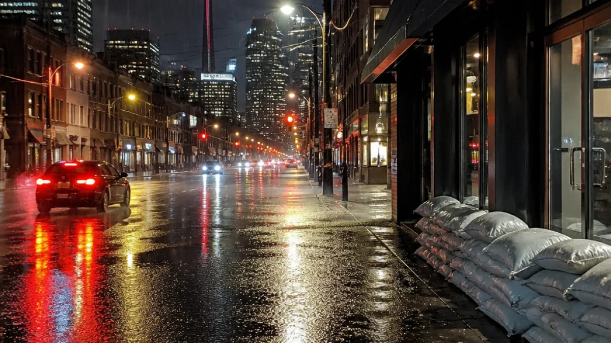
Environment Canada warned that heavy rain could pool on roads and low-lying areas and may at times reduce visibility. Such conditions increase the risk of hydroplaning for drivers and can overwhelm drainage systems in urban and rural settings.
The agency recommends that residents consult their local Conservation Authority or the Ontario Ministry of Natural Resources for information on potential flooding. It also directs the public to the provincial information page at Ontario.ca/floods for guidance about flood risk and emergency resources.
For community members planning travel or outdoor activities this weekend, practical precautions include:
- Checking the latest forecasts from Environment Canada before leaving home;
- Avoiding driving through standing water or through flooded roads, which can be deeper than they appear;
- Monitoring local conservation authority updates if you live near flood-prone waterways;
- Securing items around cottages and yards that could be damaged or swept away by heavy runoff.
Local context and expected strain
The long weekend typically brings increased travel between the city and cottage country, raising the potential for weather-related disruptions on highways and local roads. Heavy short-duration rainfall, especially inside thunderstorms, can exceed the capacity of storm drains in parts of the GTA and in smaller Muskoka communities, producing localized flooding even when widespread river flooding is not expected.
Conservation authorities in the region maintain monitoring programs and issue their own notices when water levels or runoff conditions deteriorate. Residents in municipalities that participate in such programs should watch municipal and conservation authority channels for any evolving advisories.
Municipal emergency-management offices and public works departments typically respond to significant accumulations by clearing storm drains where it is safe to do so and by posting road-closure information when necessary. Travelers should allow extra time for journeys and be prepared for changing visibility and wet pavement.
This special weather statement from Environment Canada is time sensitive. People in the affected areas are encouraged to remain alert to updates through official federal, provincial and local channels over the weekend.
If you experience flooding at your property or see a public safety hazard, contact local emergency services as appropriate and follow guidance from municipal authorities and conservation officials.