Two of three out-of-control wildfires threatening Boston Bar, British Columbia, have joined together, expanding the blaze that already has the community effectively surrounded and prompted mandatory evacuations and a highway closure.
Fires combine, complex grows
The B.C. Wildfire Service reported late Thursday that the recently ignited Anderson Creek fire merged with the southern edge of the much larger Ainslie Creek fire. Together, those two fires covered more than 264.1 square kilometres as of Friday morning. The nearby Brunswick Creek fire continues to burn independently across the Fraser River at about 72 square kilometres, creating what authorities describe as the Brunswick wildfire complex.
"This really has not changed our response, it just means they’ve merged together into one incident," said Jean Strong, a B.C. Wildfire Service fire information officer.
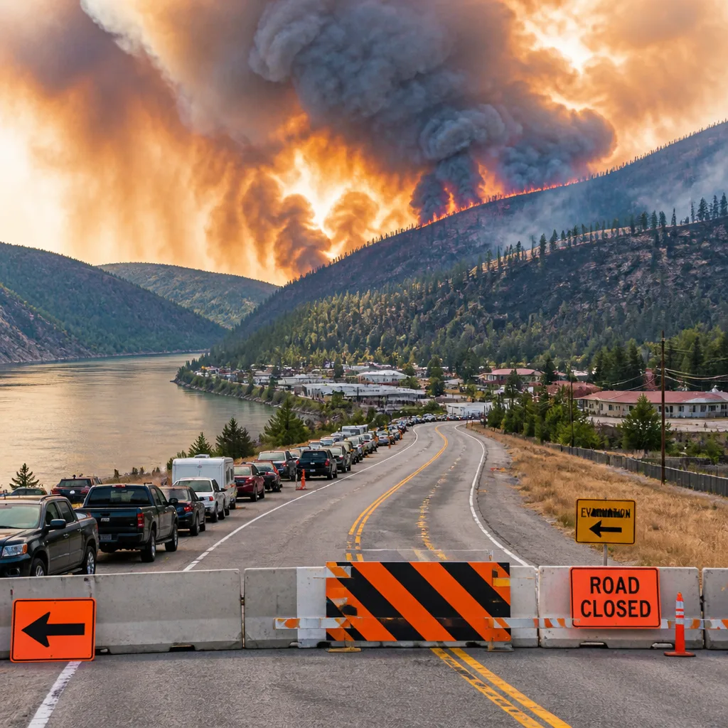
The three fires combined have left Boston Bar — a community along the Fraser River — essentially encircled. Highway 1 remains closed between Spuzzum Creek Road and the Jackass Summit, disrupting a major east–west route and complicating evacuations and response logistics. More than 450 properties in the area are under evacuation orders.
Evacuation challenges and public safety
While officials have issued mandatory evacuations, the Fraser Valley Regional District (FVRD) has reported that some residents are refusing to leave. The FVRD warned that remaining behind is unlawful and increases personal danger, particularly given the unpredictable nature of wildfire behaviour and rapidly changing weather conditions.
- Two fires merged into a single incident that now spans > 264.1 km².
- The third fire, Brunswick Creek, is burning at roughly 72 km² on the opposite side of the Fraser River.
- Highway 1 closures and more than 450 properties under evacuation orders are straining local movement and services.
The B.C. Wildfire Service emphasised that the merger does not alter operational priorities but does consolidate the incident into a single management framework. That can streamline command and resource allocation while also signalling the need for sustained suppression efforts and community protection operations.
Operational context and implications
Combining large incidents changes the scale of tactics and logistics. A single, larger incident can centralize incident command, reassign crews and equipment across the newly defined perimeter, and alter priorities for structure protection, road access and evacuation routes. It may also require re-evaluation of aerial support, fuel-management strategies and mutual-aid agreements with neighbouring jurisdictions.
With Highway 1 closed at two critical points, ground access for residents, emergency crews and supply convoys is constrained. That closure not only affects local communities but also has implications for regional transport and commerce, given the highway’s role as a primary corridor through the Fraser Canyon.
Authorities are monitoring both fire spread and weather closely. Rapid shifts in wind, humidity and temperature can quickly change behaviour, increasing the risk to residents and responders. The FVRD’s public statements stressed that evacuation orders are issued to preserve life and that those who ignore orders are placing themselves at legal and physical risk.
What remains uncertain
Officials have not provided a consolidated final size for the entire complex beyond the reported figures for each fire, and forecasts for containment timelines depend on forthcoming weather and resources. Local residents and travellers should expect ongoing disruptions and heed official notices from B.C. Wildfire Service, the Fraser Valley Regional District and provincial transportation authorities.
| Fire | Approximate size |
|---|---|
| Ainslie Creek + Anderson Creek (merged) | 264.1 km² |
| Brunswick Creek | 72 km² |
As the situation evolves, emergency officials are urging residents in affected zones to follow evacuation orders, prepare for extended disruptions and consult official channels for the latest maps, road closures and shelter information.
For now, the priority remains protecting life and property as crews work to contain the complex and as communities along the Fraser River await more definitive weather and containment forecasts.