Fire crews in central Oregon were preparing Friday for a spike in fire behaviour as forecasts called for strong winds and low humidity through the weekend — conditions that can quickly turn a smouldering perimeter into a fast‑moving inferno.
Akawa Butte remains top priority
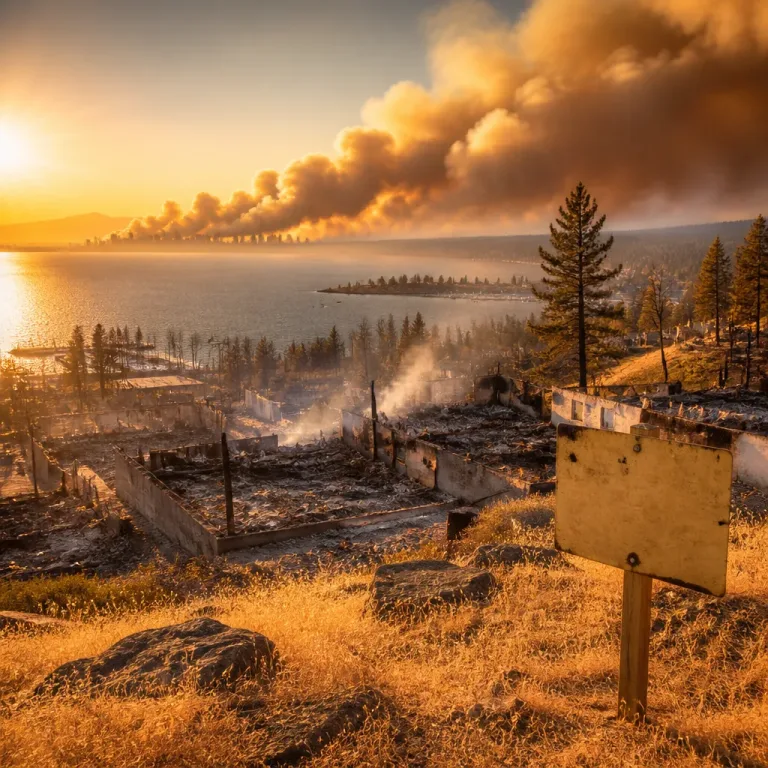
The Akawa Butte Fire, which started from lightning on July 16, has burned roughly 42 square miles (109 square kilometres) and destroyed two homes. The blaze is burning near the town of Sisters, about 22 miles (35 kilometres) northwest of Bend.
Officials have designated Akawa Butte as the nation’s top priority wildfire, a status that enables the mobilisation of additional resources from other states and international partners, Oregon Governor Tina Kotek said Friday.
Weather to complicate containment
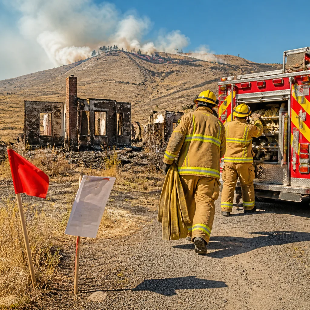
The National Weather Service issued a red‑flag warning for parts of central Oregon through Saturday, a formal alert indicating that a combination of warm temperatures, low relative humidity and gusty winds could dramatically increase wildfire risk and activity.
- Start date: Lightning strike, July 16
- Area burned: About 42 square miles (109 sq. km)
- Homes lost: Two
- Proximity: Near Sisters, roughly 22 miles (35 km) NW of Bend
Crews had been able to construct some containment lines around parts of the fire, but officials cautioned that the incoming windy, dry conditions could undermine those gains and increase the likelihood of rapid fire spread. Residents in threatened areas were urged to be ready to evacuate if conditions change suddenly.
| Metric | Value |
|---|---|
| Burned area | ~42 sq. miles (109 sq. km) |
| Homes destroyed | 2 |
| Nearest town | Sisters (pop. ~3,800) |
| Distance to Bend | ~22 miles (35 km) NW |
Public safety and resource implications
Designation as the nation’s top priority wildfire allows incident managers to draw on federal and state mutual‑aid agreements and to request resources that may include aircraft, additional crews and specialised equipment from outside Oregon. That reallocation helps concentrate suppression capacity where managers judge the threat to life and property to be most acute.
Emergency officials emphasised preparedness. With winds forecast to increase and humidity to fall — the classic recipe for more aggressive fire behaviour — the most urgent priority for communities near the fire is maintaining clear evacuation routes and communications, and ensuring vulnerable residents can leave quickly if ordered to do so.
Photographs circulating from the scene showed fire crews and helicopters actively engaged in suppression work. While containment lines had been established in some sectors, the combination of rugged terrain, dry fuels and forecasted weather posed a continuing challenge to firefighters attempting to hold the line.
The red‑flag warning remains a blunt reminder that weather, not just fuel and topography, often dictates the course of a wildfire incident. In this case, meteorological changes over a short window can erase days of firefighting gains and rapidly expand the area threatened by the blaze.
State and local authorities encouraged residents to monitor official channels for evacuation notices and to follow instructions from emergency personnel. With the fire close to populated areas and critical infrastructure, officials warned that the situation could evolve quickly as the forecasted winds and low humidity move into the region.
As crews brace for the most critical period, the coming 24 to 48 hours will be decisive in determining whether containment efforts can hold or if the fire will grow again under more severe weather conditions.