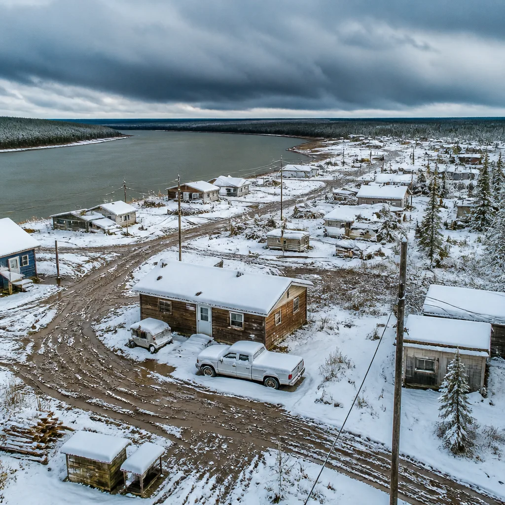
Environment Canada has issued an exceptional snowfall warning for Fort Good Hope, N.W.T., telling the community to prepare for heavy, wet snow beginning early Saturday after a period of intense rainfall.
Temperature fall turns rain to snow
The warning was posted just after 3:30 p.m. on Friday and supplements an ongoing rainfall advisory for the area. Forecasters said the system initially brought substantial rain — amounts that had been described as the equivalent of roughly two months’ normal precipitation for mid‑July in the Sahtu — but a rapid drop in temperature will drive a transition from rain to snow overnight.
“Heavy rain will change over to snow during the overnight hours on Friday as temperatures fall rapidly,”
Environment Canada indicated total snowfall could reach 10 to 20 centimetres, while noting a higher degree of uncertainty about exact accumulations because measurable July snow has never been recorded in Fort Good Hope since the community’s weather records began in 1897. Eric Van Lochem, a meteorologist with Environment Canada, confirmed that no July snowfall has been documented in the community’s long climate record.
Impacts and hazards
Forecasters warned the expected snow will be sticky and dense, capable of weighing down trees and power lines and making removal difficult. The advisory highlighted potential travel and safety problems:
- Roads and walkways could become hard to navigate as snow accumulates.
- Property or tree damage is possible due to heavy, wet snow loading.
- Existing impacts from rain, such as saturated ground, may amplify tree and infrastructure vulnerability.
Environment Canada also maintains related alerts across the Northwest Territories. Rainfall warnings remained active for Colville Lake and Paulatuk, with lesser advisories in place for Norman Wells and Tulita. Inuk communities and other coastal locations faced different threats — Tuktoyaktuk was under a wind warning, and the N.W.T. Power Corporation reported difficulties with strong gusts in Inuvik.
Why this is notable
Snowfall warnings in July are extremely rare in Canada outside of the high Arctic. While isolated summer snow flurries can occur at very high latitudes, accumulation sufficient to trigger a formal warning is practically unheard of in Fort Good Hope. The combination of intense rainfall followed by a swift cool‑down is the immediate cause of the alert; however, the episode underscores the volatile weather patterns that can affect northern communities in the shoulder seasons.
| Forecast element | Expected amount |
|---|---|
| Rainfall (24‑hour forecast) | 50–100 mm (equivalent to about two months’ normal) |
| Snow accumulation | 10–20 cm (uncertainty high) |
Local emergency preparedness and utilities in the region may need to contend with both flood and winter‑type impacts in quick succession. Heavy, wet snow is especially problematic for power and communications lines because saturated soils and already stressed trees from wind or rain are more likely to fall or lose large branches.
For residents and travellers, Environment Canada’s guidance emphasises caution: expect difficult walking and driving conditions where snow accumulates, and be alert to the risk of damage to property and trees. Authorities typically advise securing outdoor items, trimming vulnerable branches where safe to do so, and preparing for possible power interruptions.
While this event is centred on Fort Good Hope, the broader pattern of mixed precipitation warnings across the Northwest Territories this weekend highlights how rapidly changing conditions can create compounded hazards in remote northern communities.
Stay tuned to local forecasts and official advisories for updates.